


 MNK Czapscy
ul. Piłsudskiego 12, 31-109 Kraków
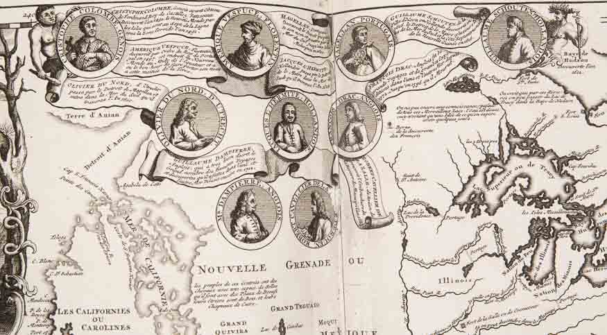
Journeys – generally undertaken since antiquity – in the Middle Ages became the domain of merchants, pilgrims and students. However, it was the great geographical discoveries of the 15th and the 16th centuries that brought about a breakthrough in the scope of results of the undertaken expeditions. The images of such great explorers as Columbus, Amerigo Vespucci, Ferdinand Magellan can be admired on the spectacular two-part map of the Americas from the historical Atlas by Henri Abraham Chatelain, dating back to 1732.
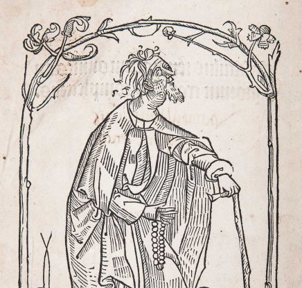
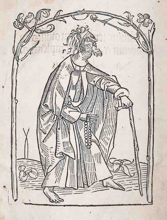
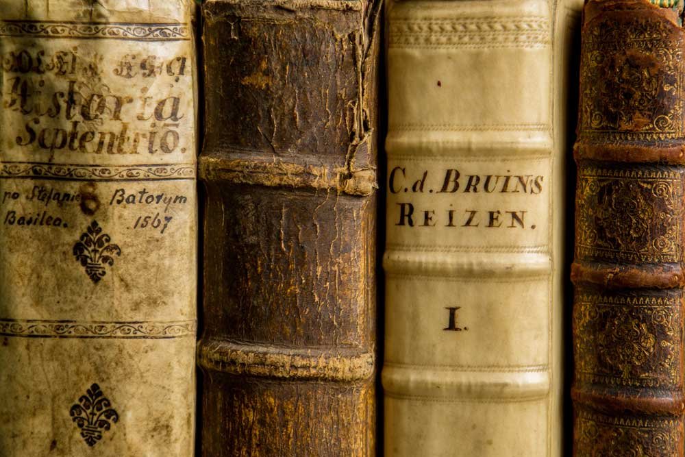
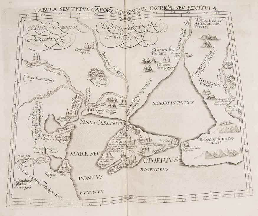
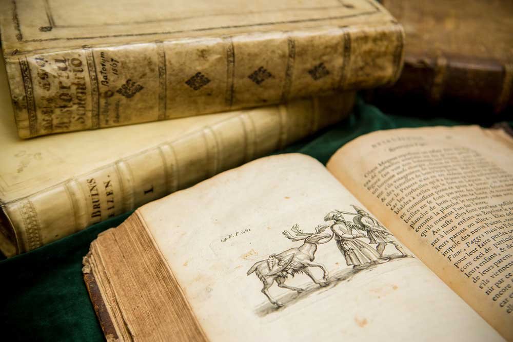
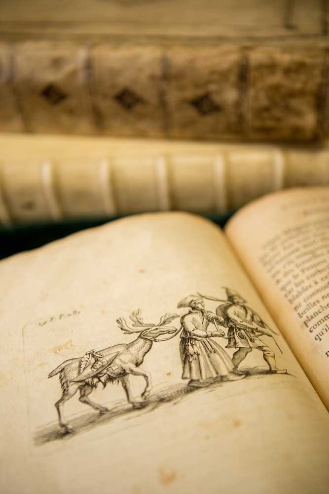
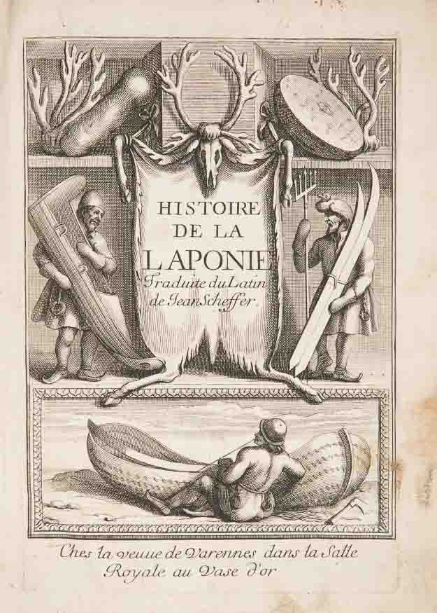
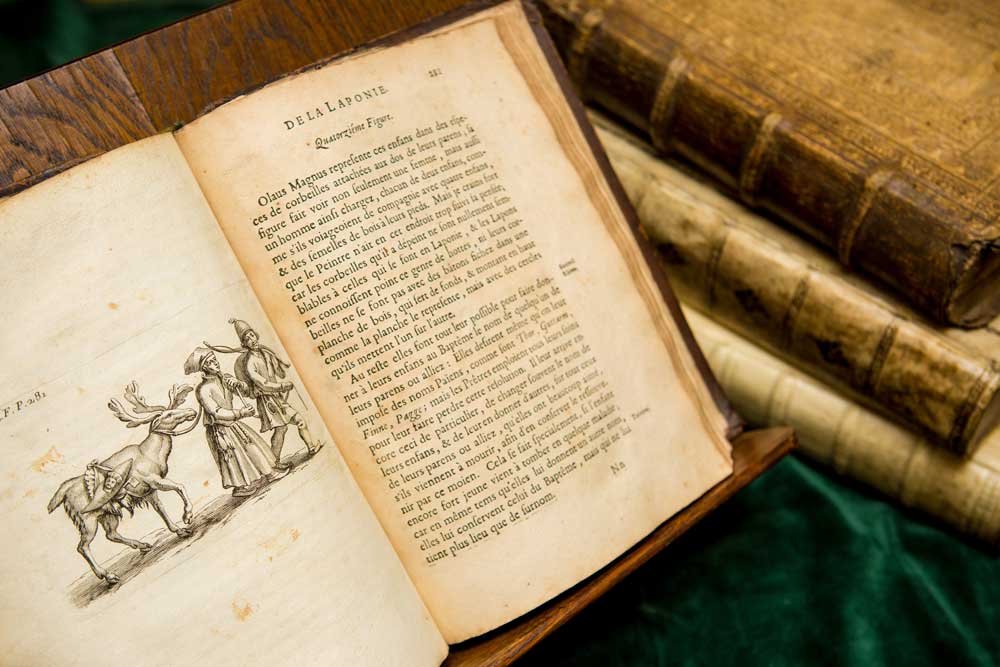
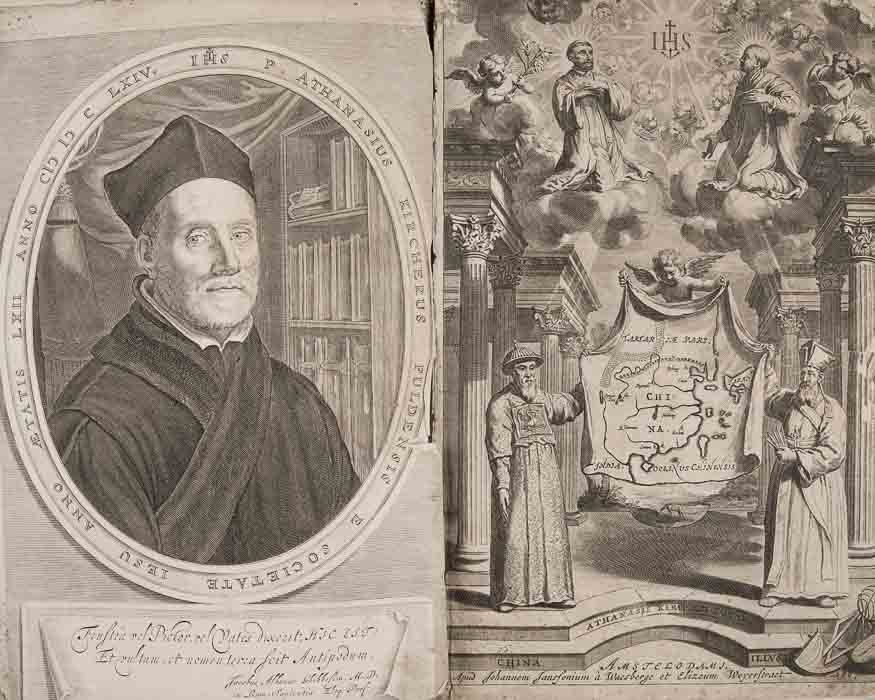
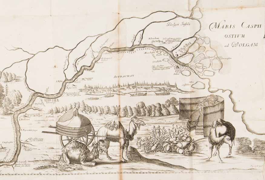
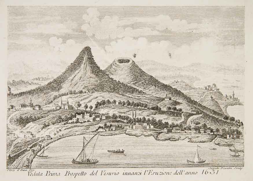
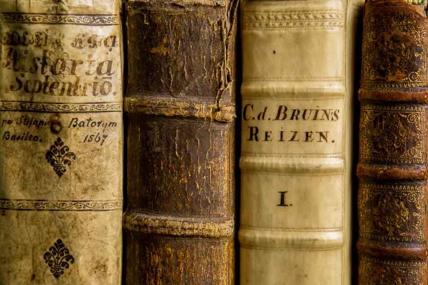
From our perspective, the most interesting results of travelling were the memoirs, descriptions, scientific treatises and short reports in the form of letters written by the participants. They were often published along with plans and maps, sometimes introducing a model later reproduced by other cartographers, such as in the case of the map of Crimea published in Marcin Broniowski’s work dating from 1595 – Tartariae Descriptio. A great advantage of these works lay in the illustrations they featured, which depicted the exotic nature of these lands, their inhabitants and wildlife. Richly illustrated works include books by scholars: Athanasius Kircher about the Far East dating from 1667, Johannes Scheffer’s volume on Lapland from 1678, or The History of the Northern Peoples by Olaus Magnus from 1567. Magnus’s work was supplemented with a reduced and modified version of the so-called Carta Marina – a map published for the first time in 1539 in Venice. It was the earliest, relatively faithful reproduction of the Scandinavian Peninsula and the Baltic Sea coastline. The most up-to-date 17th-century depiction of the lower Volga River can be admired on the map from Adam Olearius’s work on his travels to Moscow and Persia in the years 1633-1639. Literature also indicates that it took a long time for the Europeans – who at the same time ventured across the oceans – to explore their own continent.
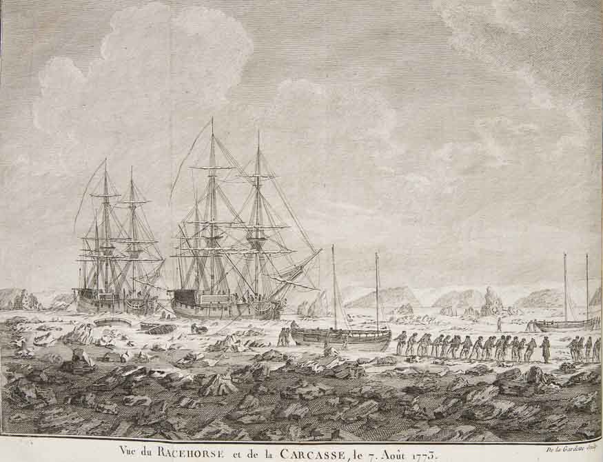
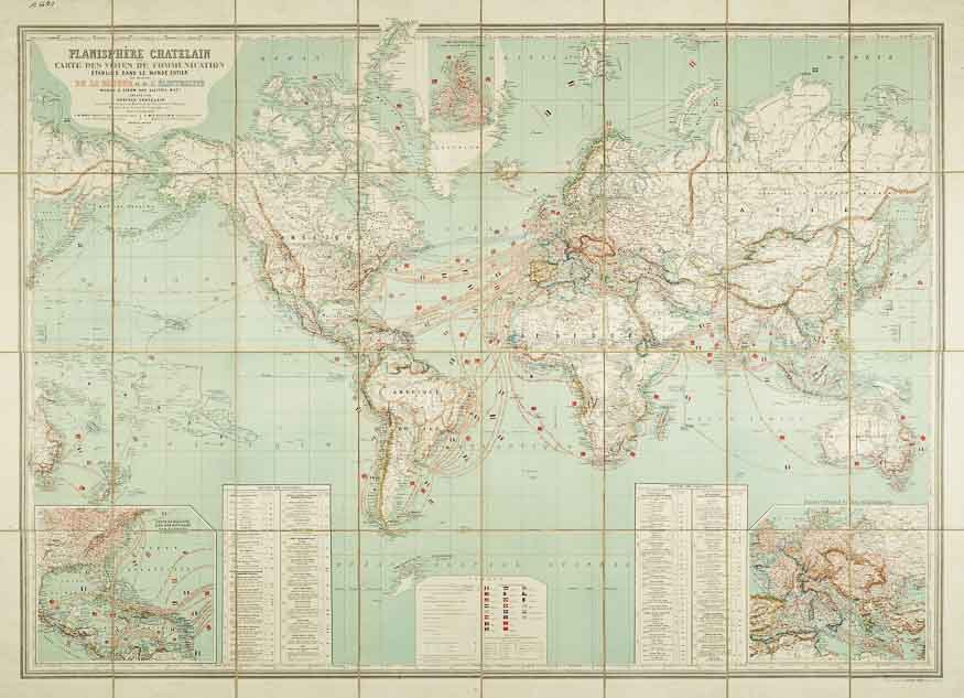
Travellers also became the addressees of various guides and itineraries which provided specific, practical information on expeditions. A tourist, beginning his peregrinations along European routes in the 17th century and becoming increasingly visible in the 18th century, was a man of the elites, who in his Grand Tour gained knowledge and experience, or sought relaxation and healing in spas. Thanks to such inventions like railways and steamships, the 19th century brought about economic and social changes, followed by mass tourism and its development. These changes are depicted in a large transportation map of the world, published in Paris in 1884 and featuring a dense network of rail and maritime connections at sea and on land.


 MNK Czapscy
ul. Piłsudskiego 12, 31-109 Kraków